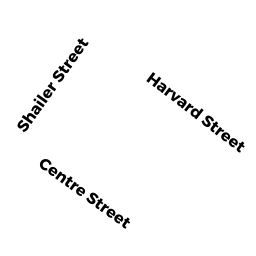
395 397 HARVARD ST
Owner Information
RAMON REALTY LLC
1382 BEACON ST SUITE 3
BROOKLINE, MA 02446


Property Details
395 397 HARVARD ST is classified as a Mixed Use (Primarily Residential, some Commercial) (Apt-row).
The primary structure on this property was built in 1910. There are 28,594ft2 of built area within this property. There is 26,388ft2 of residential/living space within this property. This property is listed as having 24 rooms. There are 19 units within this property.
395 397 HARVARD ST is valued at $8,564,400. The land is valued at $2,281,300 and the structures are valued at $6,283,100.
This property is in Zone M20. Confirm with local Zoning Board authorities to ensure there are no overlays or other easements on this property.
395 397 HARVARD ST was last sold on Friday, November 22, 2013 for $1.
Assessment data from fiscal year 2021.
Flood Data
According to the FEMA National Flood Hazard Layer, this property does not appear to be in a flood zone. It may also be in an area not yet reviewed. Nonetheless, confirm this information prior to taking any action.
To view the flood hazards around this property, create a FEMA "Firmette" Map of the area around 395 397 HARVARD ST.
Broadband Internet Providers
| Provider | Type | Bandwidth (mbps) | |
|---|---|---|---|
| RCN | Cable | 1000 | 20 |
| Starry, Inc. | Fixed Wireless | 200 | 200 |
| netBlazr Inc | Fixed Wireless | 50 | 50 |
| GCI Communication Corp. | Satellite | 0 | 0 |
| HughesNet | Satellite | 25 | 3 |
| VSAT Systems, LLC. | Satellite | 2 | 1 |
| Viasat Inc | Satellite | 100 | 3 |
| Crown Castle Fiber | Fiber | 0 | 0 |
| Verizon New England Inc. | DSL | 15 | 1 |
| Comcast | Cable | 1000 | 35 |
| RCN | Cable | 25 | 4 |
| RCN | Cable | 500 | 20 |
Broadband service provider data from December 2020.
Adjacent Properties
- 10 BEALS ST
Apartments with Four to Eight Units owned by KATZ TR SARAH M - 6 BEALS ST 1 P-A
Residential Condominium owned by AMERICAN PROSPERITY REALTY LLC - 6 BEALS ST 2 & P-B
Residential Condominium owned by AMERICAN PROSPERITY REALTY LLC - 6 BEALS ST 3 & P-C
Residential Condominium owned by AMERICAN PROSPERITY REALTY LLC - 389 HARVARD ST
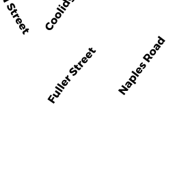
Mixed Use (Primarily Residential, some Commercial) owned by 1379 COM LLC - 11 NAPLES RD
Two-Family Residential owned by SLOMIAK CHRISTOPHER